Natural Hazards and Disaster Risk Management in the Dominican Republic
Dominican Republic Ministry of Public Works (MOPC)
Leading Research Unit: Urban Design Lab- the Earth Institute, Columbia University
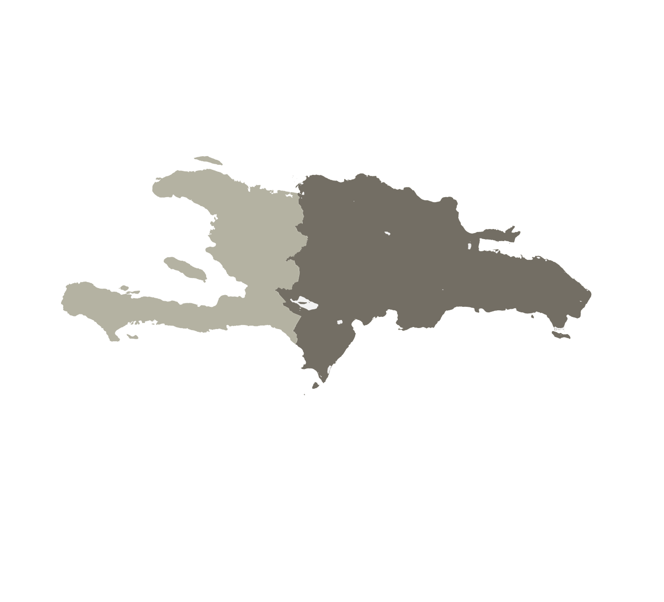
As countries and regions address the steps needed to achieve the Millennium Development Goals of domestic security and economic growth, gains are often offset by the impacts of natural disasters. The mass migration from rural to urban areas puts populations around the world at higher risk – especially since many major cities are located near coasts and fault lines. This increase in density brings more demand for essential services like water, sanitation, food, and energy. In the aftermath of the 2010 Haiti earthquake, this research received support from the government of the Dominican Republic to analyze its existing capacity and preparedness plan for future natural disasters.
With input from research colleagues at the Earth Institute, Lamont- Doherty Earth Observatory and the Fu Foundation School of Engineering and Applied Sciences (SEAS), the initial study looks at five main areas: hazard, exposure, fragility, risks, and integration and planning. Within each category, this research identifies areas of resilience and necessary reinforcements for the country’s critical infrastructures, such as ports, roads, bridges, dams, power distribution, food storage, and critical buildings.
Engaging and coordinating with government officials, civic organizations, and academic and research institutions, this report analyzes the challenges within a complex emergency prediction and response framework.
2 Beechtree Lane Bronxville NY 10708 | 646.783.2408 | [email protected]
2 Beechtree Lane Bronxville NY 10708 | 646.783.2408 | [email protected]
@Copyright 2024 RGITECT
@Copyright 2024 RGITECT